GIS HUB
Information-Driven Initiative in Local Government
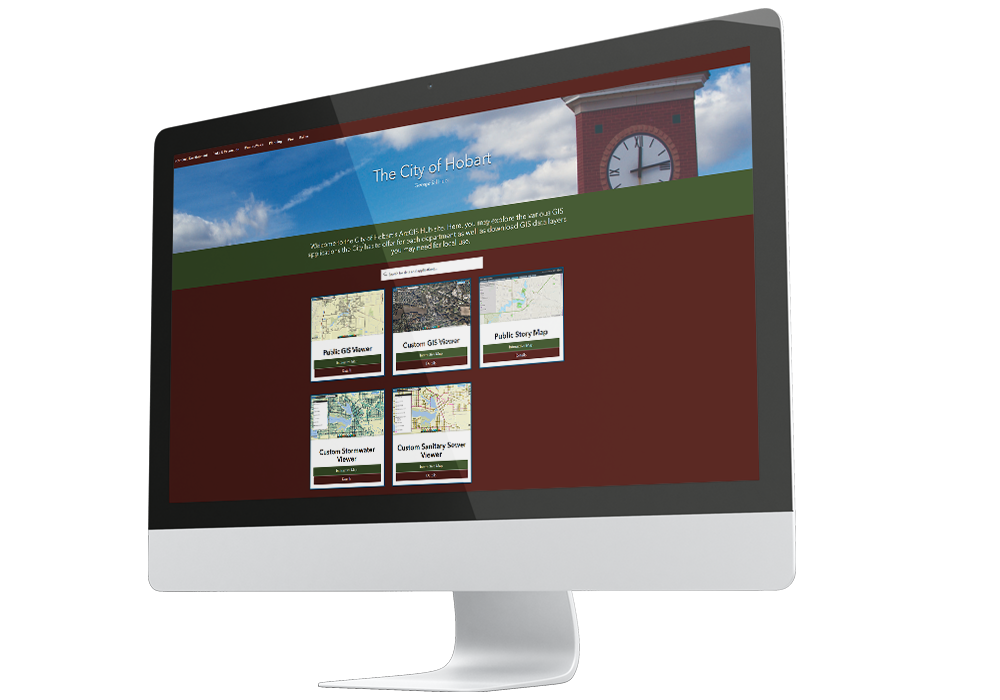
Geographic Technologies Group (GTG) will maintain all operations during the COVID-19 pandemic. Our team of 30 staff has a business continuity plan and will be working with local government organizations to implement ArcGIS Hub Solutions that support every town, city, or county well into the future. Esri’s ArcGIS Hub provides an unparalleled community engagement platform and common operating picture for GIS operations, both internally and externally. As a scalable and sustainable solution, ArcGIS Hub deployments can be configured for any level of GIS maturity and positioned to grow organically, aligning with organizational goals and initiatives.
A GIS Hub offers your organization:
- A graphic-rich and easy way of organizing your data, information, and community characteristics into categories (such as maps and applications)
- A tool to orchestrate and organize real-time specific data-centric initiatives
- Help with introducing open data to your community so you can share data with the world
- A suite of visualization tools
- Real-time custom dashboards and insights into data
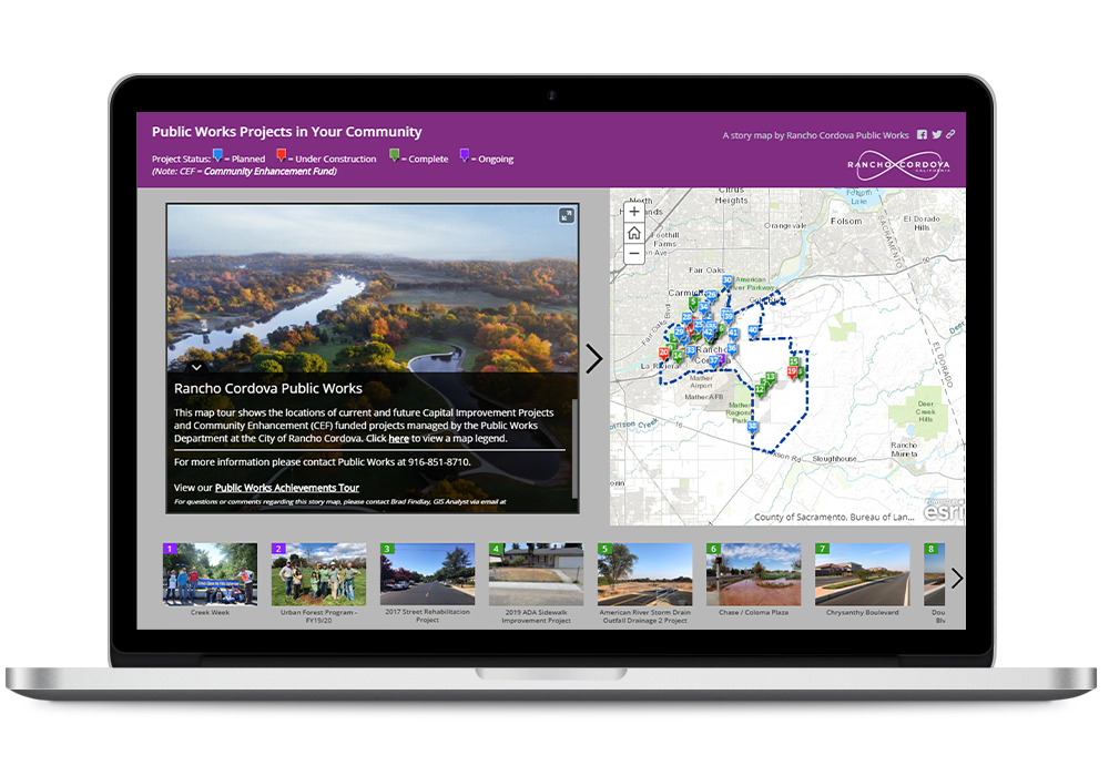
- Story Maps and living documents
- Community engagement opportunities
- Streamlined collaboration with internal and external stakeholders
- Tools and techniques for innovation
- The next generation of crowdsourcing
The success of your ArcGIS Hub will be based on your imagination, desire, and the data you have to put into it. With all of this, the HUB can be an astronomical improvement to how you access and manage your GIS data and applications.
Let us help you maximize engagement, communication, collaboration, and data sharing through Esri’s ArcGIS Hub.
Call us at 888.757.4222.
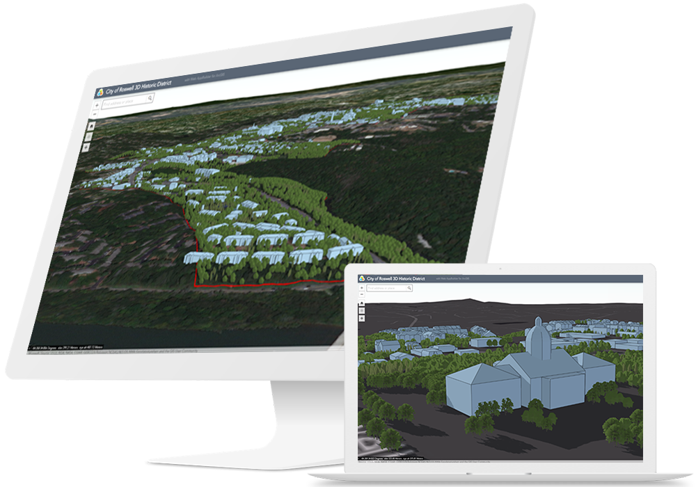
3D Tools for Public Works
Add dimension to your data with 3D visualization.
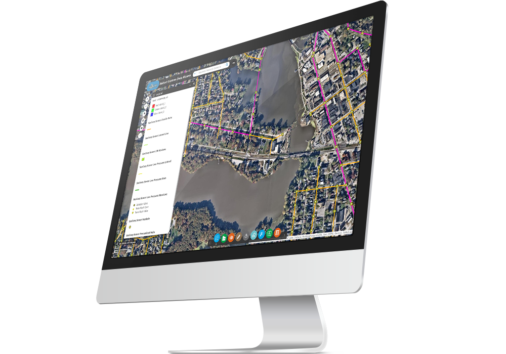
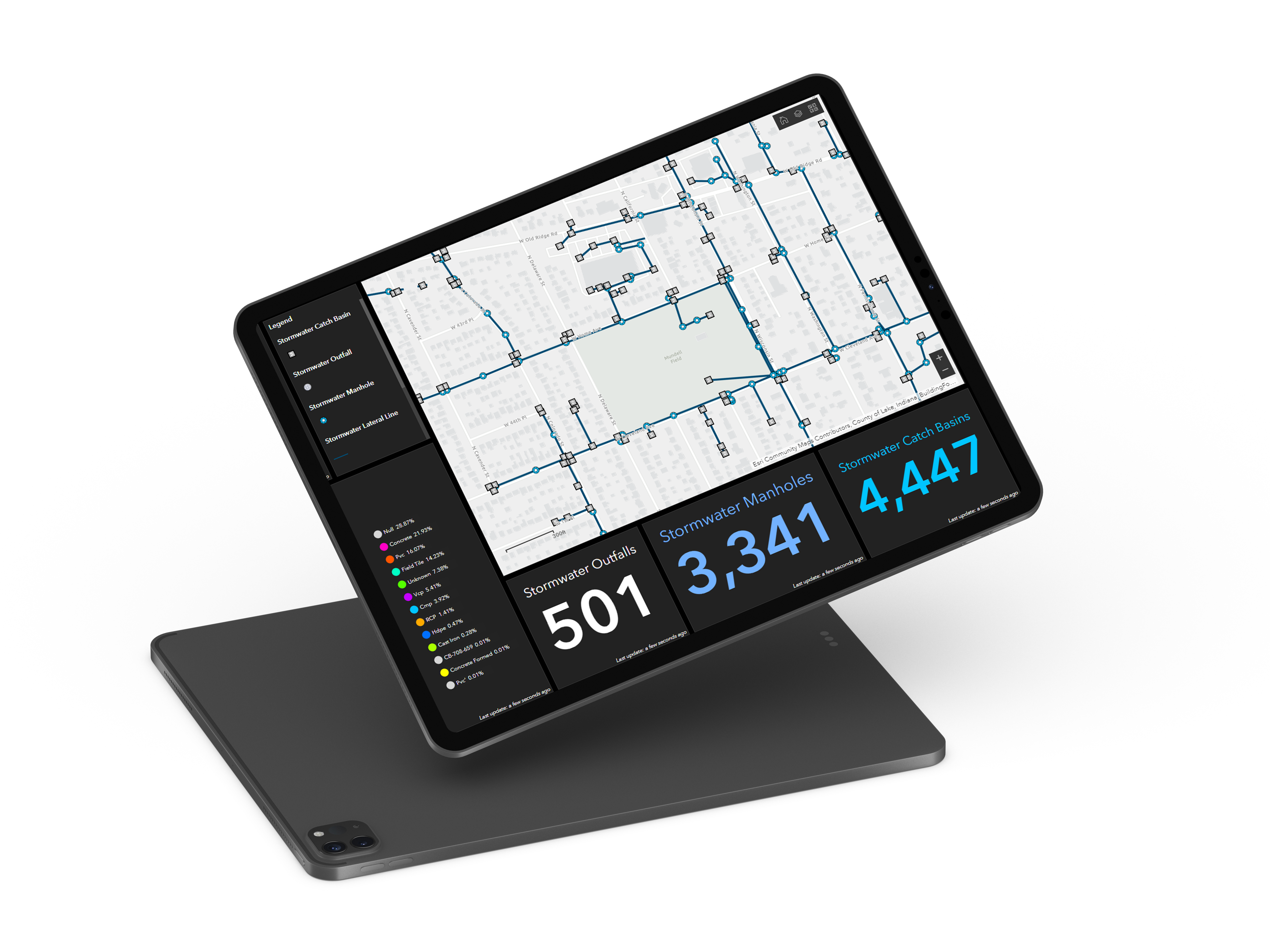
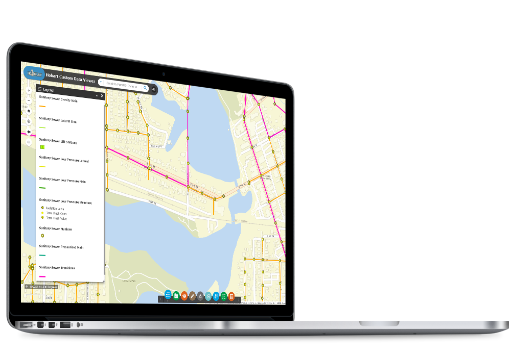
Network Application for Water, Sewer, and Storm Water
Monitor your water/sewer/storm network in real-time when combined with Collector and/or Workforce for ArcGIS. The operations dashboard will enable you to keep track of all sorts of data in one location, customizable to your needs.
Capital Improvement Program (CIP) Application for Public Utilities
GTG provides many tools and workflows that assist agencies with the creation and maintenance of capital improvement project (CIP) data using GIS. This includes dashboards, reports, and project locators.
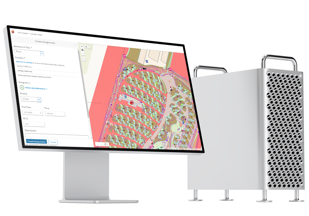
Works Order Solution Application for Public Works
All GIS assets can be leveraged with work order management, streamlining the associated maintenance and repair of physical assets
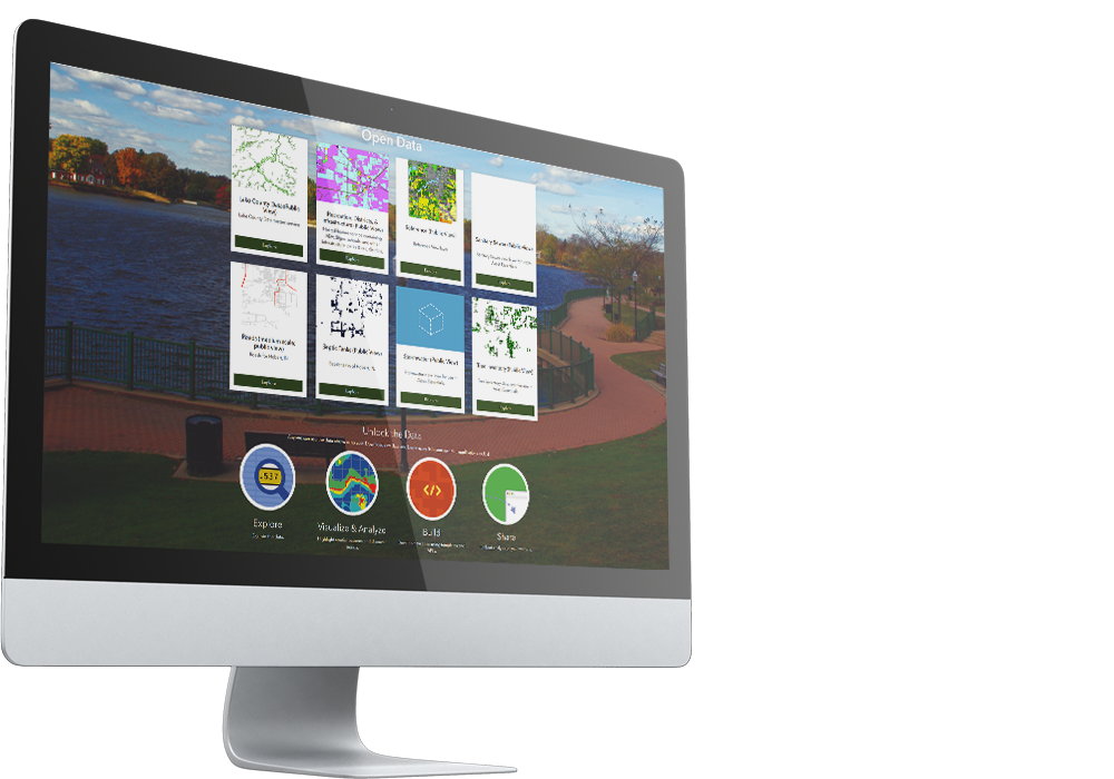
Open Data Portal for Public Works
Provide your decision-makers, staff, and the public with the data they need to make more informed decisions and accomplish their goals.

